2019 Competition Meet the Programme Finalists
Thank you to our Judges and Partners
This Programme would not have been possible without the generous help of our partners in scoring applications, providing advice and spreading the word.
Finalists
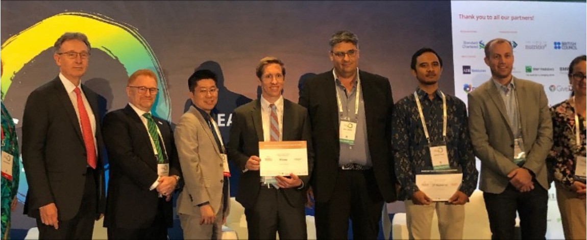
FieldSight [Winner]
Watch Fieldsight introduction video on YouTube
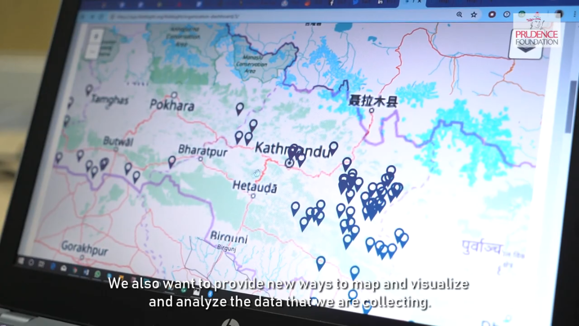
Following the devasting Nepal Earthquake of 2015, FieldSight was founded as a Humanitarian digital platform for remote project supervision and monitoring, as well as infrastructure quality assurance. Developed in partnership with UNOPS, FieldSight is built to work on mobile devices and in remote and difficult-to-access locations, creating actionable data and interfaces that help partners deliver higher-quality, lower-risk recovery projects.
FieldSite received:
-
USD100K in grants
-
Coaching from our partners
-
Opportunity to showcase technology at the 2019 AVPN Conference to potential investors and partners
SeismicAI [1st runner up]
Watch SeismicAI introduction video on YouTube
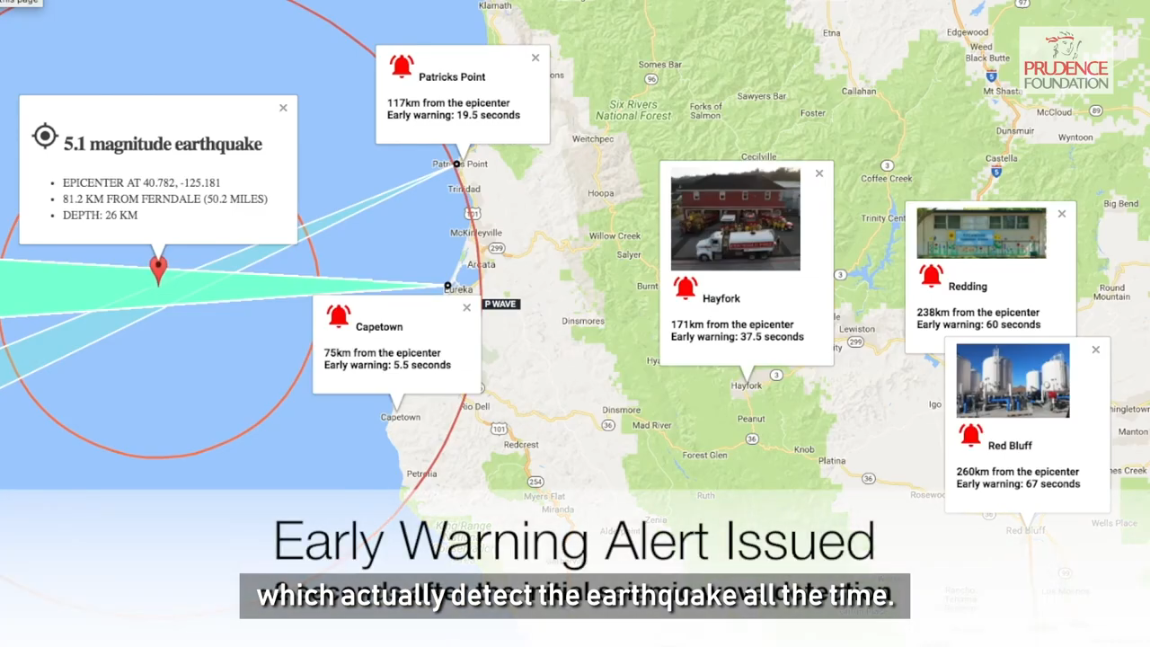
Currently under development, the Israel-based company SeismicAI looks to provide its customers with a commercial-grade Earthquake Early Warning system that can detect seismic activity within two seconds, reducing the amount of time to send out warning messages. The company’s goal is to replace outdated seismic models with unique physics and machine learning systems with their more cost-efficient model.
SeismicAI received:
- USD30K in grants
- Opportunity to showcase technology at the 2019 AVPN Conference to potential investors and partners
PetaBencana.id [2nd runner up]
Watch PetaBencana introduction video on YouTube
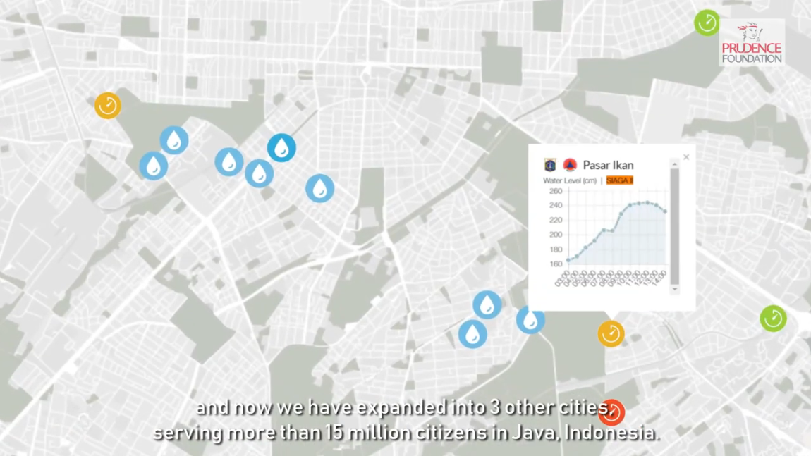
First founded in Indonesia in 2013, PetaBencana.id is a free web-based platform that produces megacity-scale visualisations of disasters using both crowd-sourced reporting and government agency validations in real time. The platform harnesses the heightened use of social media and instant messaging during emergency events to gather confirmed situational updates from street level, in a manner that removes the need for expensive and time-consuming data processing.
PetaBecana.id received:
- USD20K in grants
- Opportunity to showcase technology at the 2019 AVPN Conference to potential investors and partners
OpenAerialMap
Watch OpenAerialMap introduction video on YouTube
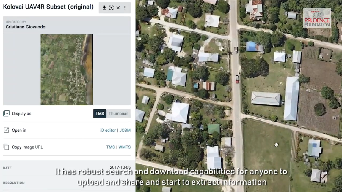
Founded by Humanitarian OpenStreetMap Team (HOT) in Washington, D.C., OpenAerialMap (OAM) is a set of tools for searching, sharing, and using, openly licensed satellite and drone imagery. The open source platform provides search and access to this imagery, which ultimately helps decrease loss time in time-sensitive decision making by providing disaster managers and responders with up-to-date, high-quality imagery data.
People in Need
Watch Peopl in Need introduction video on YouTube
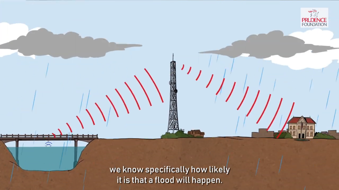
Headquartered in Prague, Czech Republic, People in Need (PIN) co-developed and piloted the use of automated water gauges in Cambodia following the 2013 floods, which have substantially improved the responsiveness of Cambodia’s Early Warning System. The solar-powered water gauges continuously record water levels and transmit data for immediate evaluation. Where it is deemed that threshold levels have been reached, a pre-recorded audio message is sent to registered users in affected areas using Interactive voice response technology.

